
 Home
Home


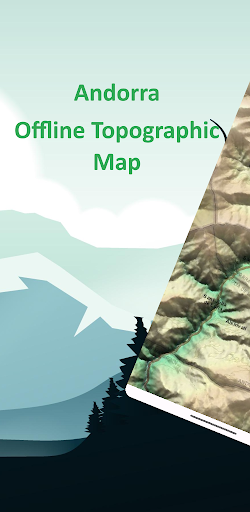
Andorra Offline Topo Map
Andorra Offline Topographic Map. Explore Freely, No Internet Need...
Contains ads

50+
Total Global Downloads-
Bundle ID
com.xd_geospatial.andorra
-
Developer
XDivide Geospatial -
Category
Maps & Navigation -
Price
Free -
Update Time
Jan 1, 1970 -
0 Ratings
0
-
Bundle ID
com.xd_geospatial.andorra -
Developer
XDivide Geospatial -
category
Maps & Navigation
-
Price
Free -
Update Time
Jan 1, 1970 -
0 Ratings
0
 Screenshots & Media


 App Info
 ***********
 Description
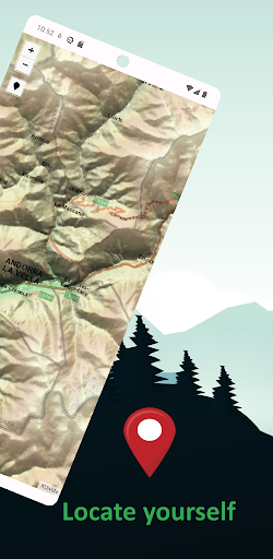
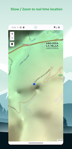
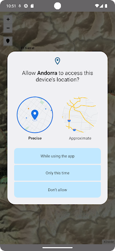
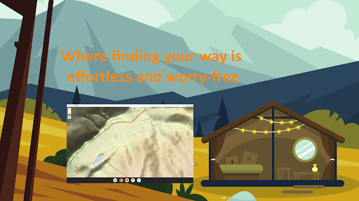
Designed with simplicity in mind, this app offers an intuitive user interface that enables you to quickly and easily find information about surroundings, without any prior technical knowledge or experience.The app offers offline topographic map of Andorra, data used in this app meticulously provided and maintained by European Digital Elevation Model (EU-DEM) project. EU-DEM is a digital surface model (DSM) at pan-European level representing the first surface as illuminated by the sensors. It is a hybrid product based on SRTM and ASTER GDEM data fused by a weighted averaging approach.
As a testament to our commitment to utilizing cutting-edge technology, we proudly leverage the Leaflet JavaScript library – a project born in Ukraine. It delivers a seamless user experience that empowers you to explore and discover the world with ease.
This app is the embodiment of our unwavering commitment to making the world a better place, and we are honored to provide a powerful platform that equips you with the tools and information needed to navigate and explore the surroundings with confidence and clarity.

 Popular IAP
--
 Version History
| Version | Time |
| Jan 1, 1970 | Jan 1, 1970 |
| 3.0 | Apr 8, 2025 |
| 2.0 | Jul 26, 2024 |
| 1.0 | Sep 12, 2023 |
Preparing
Ranking Trend
Last 7 Days
Last 30 Days
 Customize
Last 7 Days
Last 30 Days
Customize
Last 7 Days
Last 30 Days
Customize
Last 7 Days
Last 30 Days
Customize
Download Trend
Last 7 Days
Last 30 Days
Last 90 Days
Customize
More by【XDivide Geospatial】
| # | App | App Category | App Price | App Initial Release Date | |
| 1 |
|
Switzerland Offline Topo Map
XDivide Geospatial
|
Maps & Navigation | Free | Sep 6, 2023 |
| 2 |
|
Yosemite Offline Topo Map
XDivide Geospatial
|
Maps & Navigation | Free | Aug 21, 2023 |
| 3 |
|
Andorra Offline Topo Map
XDivide Geospatial
|
Maps & Navigation | Free | Sep 11, 2023 |